NWS Twin Cities
@NWSTwinCities · 2h ago
A special weather statement has been issued for Olivia MN, Renville MN and Hector MN until 8:15 AM CDT https://t.co/qzJJCPMIES

NWS Twin Cities
@NWSTwinCities · 3h ago
Severe Thunderstorm Warning including Granite Falls MN, Clara City MN and Renville MN until 7:45 AM CDT https://t.co/R9cQFFEPBK

NWS Twin Cities
@NWSTwinCities · 4h ago
Scattered storms can be expected during the day today with additional storms possible late Sunday night into early Monday morning, including a few severe storms. In between, Saturday will be quite the pleasant day with warm temperatures & comfortable humidity levels. #mnwx #wiwx https://t.co/ULgsYSeaN1


Bloomington Public Schools
@bps271 · 14h ago
We have openings in our preschool and Early Childhood Family Education (ECFE) programs. Bright futures begin at Early Learning at Washburn where we lay the foundation for a lifelong love of learning. Browse the Early Childhood Catalog and register today: https://t.co/x0lwQBMegz https://t.co/dvDMeXdTl1

NWS Twin Cities
@NWSTwinCities · 18h ago
Most areas will stay dry this weekend, though there will be several chances for isolated showers and storms. Some storms could become strong tomorrow afternoon, especially within the Marginal Risk area. https://t.co/LWpHfs9NWs

Bloomington Police
@BPD_MN · 1d ago
Now THAT was an EPIC National Night Out!🥳🤩 From bubble makers, to cotton candy machines, to bounce houses, to food trucks, to Pickleball courts and so much more!
100's of nbhd's and 1000's of people came together building a stronger community. Let's do it again next year!! 💙 https://t.co/ck7LrmPMVJ

NWS Twin Cities
@NWSTwinCities · 1d ago
A mainly dry forecast is on tap through the weekend. A cold front will move through tomorrow, bringing a slight chance for afternoon storms. Isolated showers are possible Saturday evening and Sunday night. Highs remain in the low to mid 80s with lows in the 60s. #mnwx #wiwx https://t.co/1gagx3d0Al

Bloomington Police
@BPD_MN · 1d ago
**UPDATE- Mr. Carlson has been located. Thank you everyone for looking, sharing the post, and helping us locate him!**
Bloomington Public Schools
@bps271 · 1d ago
Check out this special tribute to Minnesota music icon Prince. Shout out to the students and staff of Westwood Elementary for lending their musical talents to this music video, made in partnership with Lakes Area TV. #Prince #MinnesotaMusic
WATCH: https://t.co/CADSIIzbDs

Minnesota Department of Transportation
@MnDOT · 1d ago
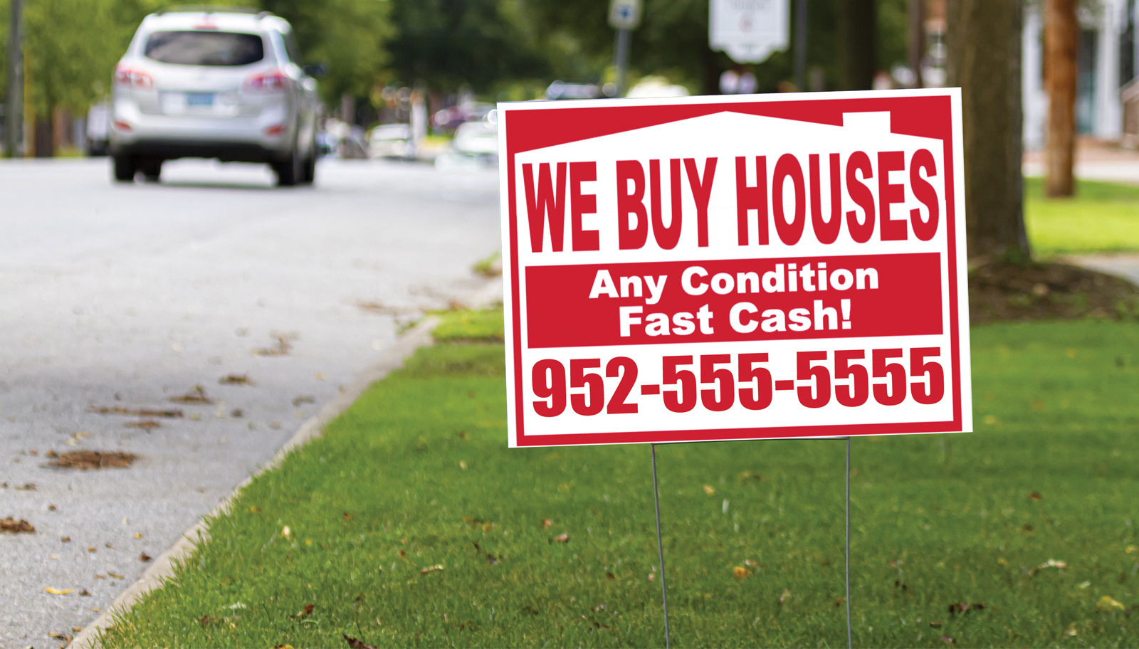
Help us keep highways safe! Only official signs are permitted on bridges, overpasses and land closest to the highway. Any other signs can create hazards for travelers and will be removed. Learn more: https://t.co/U33ynVGTHk https://t.co/OuOGEy1oMQ

NWS Twin Cities
@NWSTwinCities · 1d ago
Pleasant weather continues, with a couple chances for isolated showers over the next 5 days. #mnwx #wiwx https://t.co/MG4zHWqxT7

Bloomington Police
@BPD_MN · 1d ago
Officers are actively searching & want him located safely to receive the care and support he needs. Please do not approach or intervene, as his current mental state may cause him to act unpredictably. If you have any information about his whereabouts, contact 911 right away. https://t.co/RB2DfaMcqD

Bloomington Police
@BPD_MN · 1d ago
‼️We are seeking help in locating a vulnerable adult who left a local hospital(HCMC) w/o authorization while receiving emergency care. Robert Paul Carlson, age 72, of Bloomington was last seen wearing the pictured clothing below (black pants, yellow button-down shirt).
NWS Twin Cities
@NWSTwinCities · 2d ago
Take advantage of the pleasant weather over the next couple of days! Starting Friday afternoon, there is a chance of isolated showers that could be present throughout the weekend as well. https://t.co/BlpV1U7Nkx

Bloomington Public Schools
@bps271 · 2d ago
Congratulations to Bloomington Transition Center’s Project SEARCH team, which earned a national award recognizing the 2024-25 interns who worked at Embassy Suites by Hilton Minneapolis Airport who went on to achieve meaningful employment. Read more: https://t.co/CZEhQ239Lp https://t.co/UgkPEhg0DR

Minnesota Department of Transportation
@MnDOT · 2d ago
We’re updating our website and want your honest feedback! If you’ve used our site in the past four months, we’d love to hear what works, what doesn’t and what you want to see next.
Sign up for our focus group today: https://t.co/AlA7IZWfSy https://t.co/yZVpihn4aU

NWS Twin Cities
@NWSTwinCities · 2d ago
Pretty standard summer weather is expected through the weekend with a break for the humidity continuing through Wednesday. #mnwx #wiwx https://t.co/G724IpbgnQ


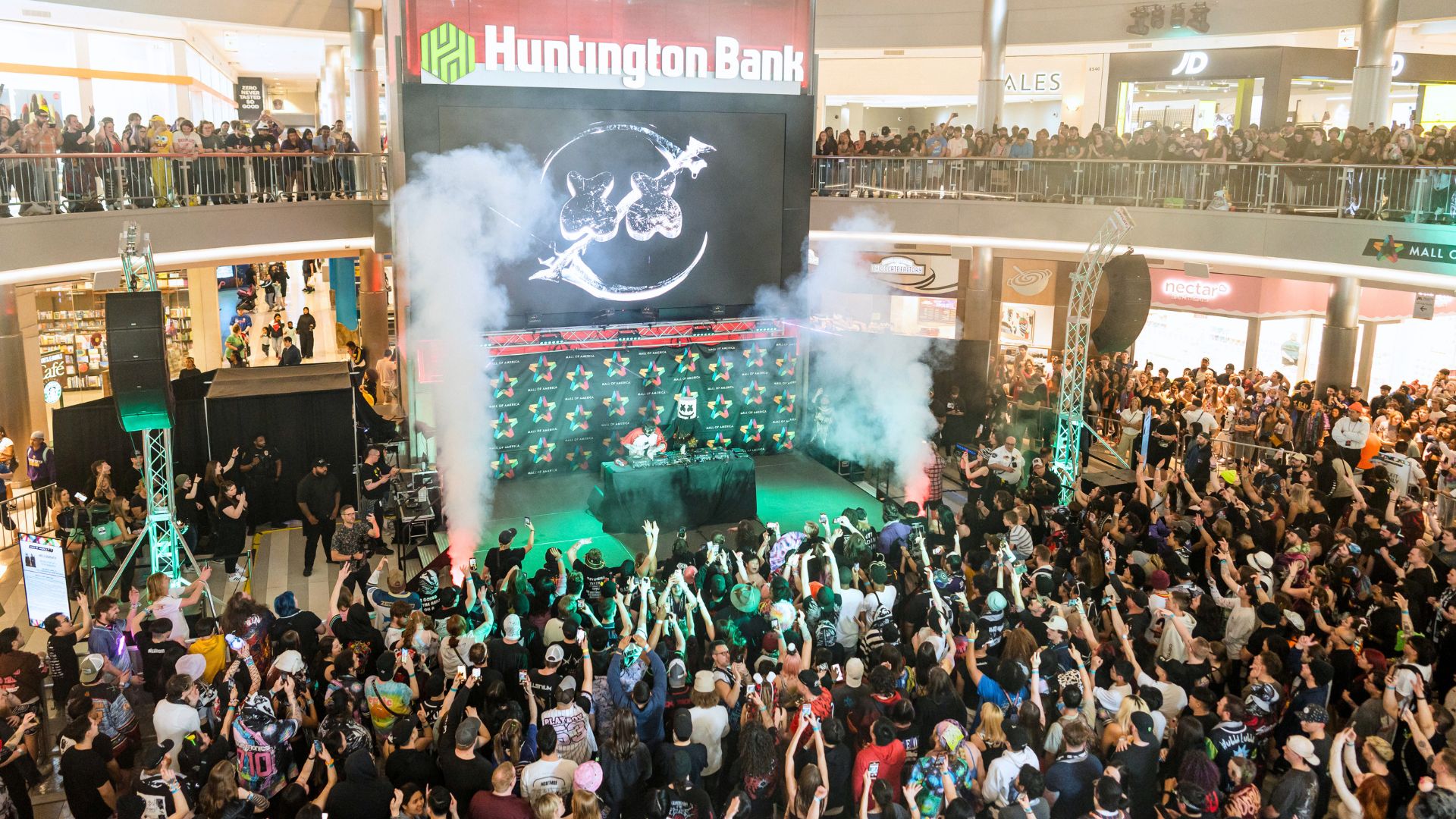
Mall of America
@mallofamerica · 2d ago
THE GUNDAM BASE is coming soon to Mall of America! 🤖 @GundamInfoNA
Get ready to explore exclusive GUNPLA model kits, limited edition merchandise, immersive displays + more at the ultimate Gundam destination!
📍Level 1, East https://t.co/V7iZLUmdMi

Mall of America
@mallofamerica · 2d ago
A taste of Italy is headed our way. 🇮🇹🍨
Amorino is coming soon to Mall of America, bringing handcrafted Italian gelato, refreshing sorbets + its iconic flower shaped creations. 🤌🤩
📍Coming soon to Level 1, North https://t.co/3xWVv1ViCa

Mall of America
@mallofamerica · 2d ago
Dreams came true at Mall of America. 💙✨
We were honored to welcome @MakeAWish kids for a special day with @WWE Superstars and legends, creating memories they'll never forget! https://t.co/HWPYQFYwi2

NWS Twin Cities
@NWSTwinCities · 2d ago
Smoke across the western US continues to be carried by flow aloft. Some of this smoke is creating hazy conditions as seen on the MSP @EarthCam. The amount of smoke is expected to improve tomorrow.
Monitor Air Quality impacts on @MnPCA or https://t.co/jycApbEFoC #mnwx #wiwx https://t.co/AooA5yNcoE
NWS Twin Cities
@NWSTwinCities · 3d ago
Cooler and comfortable through Thursday followed by warmer temperatures and possible storm chances this weekend. https://t.co/sX1vzTjteC

NWS Twin Cities
@NWSTwinCities · 3d ago
A special weather statement has been issued for Blue Earth MN, Wells MN and Winnebago MN until 4:30 AM CDT https://t.co/aQnEzt4aQA

NWS Twin Cities
@NWSTwinCities · 3d ago
A special weather statement has been issued for Evansville MN, Brandon MN and Miltona MN until 10:00 PM CDT https://t.co/b6mPZlbACD

NWS Twin Cities
@NWSTwinCities · 3d ago
Showers and storms return to the forecast tonight into Tuesday morning. A few stronger storms may produce isolated damaging wind gusts and hail across western Minnesota. The graphic below displays estimate timing for showers and storms. https://t.co/tlzNknuj7D

Bloomington Public Schools
@bps271 · 3d ago
Health Commons at Pond opens for a new school year Aug. 10. This free clinic operates in partnership with BPS and the Minnesota State University, Mankato nursing program and recently earned a gold standard rating.
Learn more about the clinic at https://t.co/6mgMf9c1JC https://t.co/FfAxrPDZqm

Minnesota Department of Transportation
@MnDOT · 3d ago
We're investing $8M in 39 Minnesota public airports to support safer runways, better facilities and stronger local infrastructure! Learn more: https://t.co/G6It85uE6Y ✈️ https://t.co/JKhqOPWK3G

NWS Twin Cities
@NWSTwinCities · 4d ago
Breezy winds out of the south today. Cold front brings rain chances tonight and may produce strong to severe storms across northwestern Minnesota. https://t.co/sSwR0c1Wz8

NWS Twin Cities
@NWSTwinCities · 4d ago
A pleasant start to the week, followed by a cold front late Monday into Tuesday bringing showers and rumbles of thunder.
Temperatures cool down for a few days, followed by another warming trend to end the week back in the upper 80s to near 90. #mnwx #wiwx https://t.co/I1pM2Nb7ZQ

Mall of America
@mallofamerica · 4d ago
Your August plans start here. ☀️
More events ➡️ https://t.co/ymdEyDBnFv https://t.co/PxobWC7qWZ

NWS Twin Cities
@NWSTwinCities · 5d ago
Another gorgeous day is on tap! Monday will be mostly dry ahead of a cold front Monday evening into Tuesday morning, bringing showers and storms. #mnwx #wiwx https://t.co/8vB5ch3bA6

Bloomington Fire
@BFD_MN · 5d ago
Structure Fire- 107XX block of Morgan Cir. Detached garage fire has been knocked down. The fire was contained to the garage, with no extension to the adjacent home. No injuries, and the cause is under investigation. https://t.co/UZpb4COEFb

Mall of America
@mallofamerica · 5d ago
Don't miss your chance to experience Panda Fest! 🐼
From incredible eats + unique vendors to live performances and family fun, there's something for everyone!
📍North Lot
Get your tickets for the final day: https://t.co/t8IS7swgTO https://t.co/59XqWMb2LZ

Mall of America
@mallofamerica · 5d ago
The legend has returned. 🐉 31 years later, Jushin “Thunder” Liger steps back into the Mall of America ring! 🤯 @f1rstwrestling https://t.co/c6dmt52yRm
NWS Twin Cities
@NWSTwinCities · 5d ago
Tonight and tomorrow night will be a great chance to open the windows for some fresh air, with seasonal temperatures through midweek.
A cold front will move through Monday evening into Tuesday morning, bringing weak showers and storms. #mnwx #wiwx https://t.co/SY8r9qBTAy

NWS Twin Cities
@NWSTwinCities · 6d ago
It's August 1st, so here's a look at some July climate stats for our three climate sites! General theme was a warm (in some cases very warm) and dry July. #mnwx #wiwx https://t.co/Ru8cILWSt3

NWS Twin Cities
@NWSTwinCities · 6d ago
Portions of southern Minnesota and western Wisconsin will see some patchy fog this morning followed by mostly sunny skies through the weekend. Thunderstorm chances return late Monday, mainly across western Minnesota. Cooler temperatures follow early next week. #mnwx #wiwx https://t.co/CZ8ltX5QLJ

Mall of America
@mallofamerica · 6d ago
FRIDAY NIGHT NITRO LOADING… 🔋💪 https://t.co/8Vil3VkRb9

NWS Twin Cities
@NWSTwinCities · 6d ago
Light rain ends this evening with skies clearing out tonight. Pleasant weather for the weekend with sunny skies & high temperatures around 80.
#mnwx #wiwx https://t.co/1QLFH2Je79

Minnesota Department of Transportation
@MnDOT · 6d ago
From project updates to travel tools, our “Popular Topics” page makes it easy to find the information Minnesotans search for most: https://t.co/UI8WjSDens https://t.co/lVpBxWzTf1

Bloomington Public Schools
@bps271 · 6d ago
Running up the score in handball, solving a mystery in the game room, creating works of art, and making new friends. These are some of the ways students are staying engaged this summer in the Summit SAFARI program at Valley View Middle School. #BPSsummer https://t.co/euMZtj6Rn0

NWS Twin Cities
@NWSTwinCities · 6d ago
Rainfall amounts through 1pm:
NWS Chan: 1.84"
MSP: 1.37"
STC: 0.65"
EAU: 0.02"
Map shows radar estimates (color) and some observations (numbers). From automated gauges, the leader right now is golf course outside of Le Sueur, which has measured 7.11" of rain since midnight. #mnwx https://t.co/XHjvwlefHQ