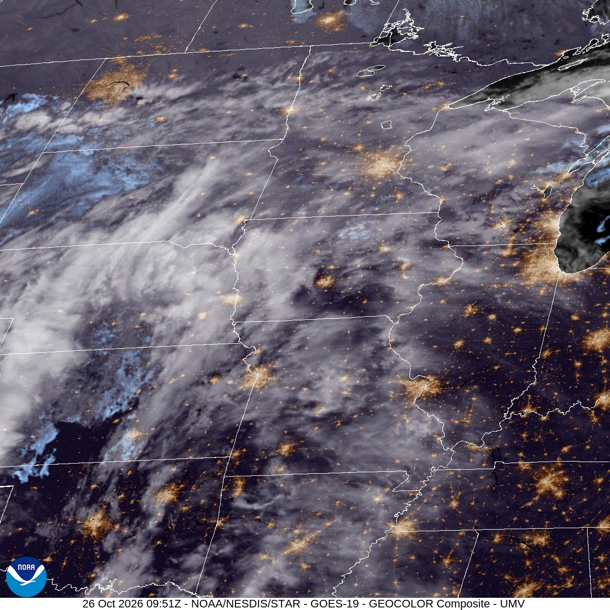

Sunday was a preview. MSP topped out at 55° with a low of 48° and picked up just 0.02" of rain. Monday brings more of the real thing.
Overnight there's a 40% chance of rain, with a low around 44 and a north-northeast wind near 10 mph. By daytime Monday, rain becomes likely at 80%. Skies stay cloudy, the high reaches only about 49, and a light northeast wind of 5 to 10 mph makes it feel cooler. Daytime totals look modest, between a tenth and a quarter of an inch, so expect wet roads for the commute rather than a washout.
Monday night is the main event. Rain chances climb to 90%, and another half to three quarters of an inch is possible. The wind turns east at 10 to 15 mph. Temperatures dip to around 43, then rise to about 46 overnight, a sign that warmer air is on the way. If you have an evening walk, a dog to take out or anything else outdoors after dark, plan for a soaking.
Tuesday turns milder. Rain is possible before 11am, with another quarter to half inch possible, and then the high reaches near 62. South-southeast gusts could hit 25 mph. Wednesday looks warmer still, with a high near 69.
For the next 12 hours and today's records, see Bloomington weather; for the days ahead, the 10-day forecast.