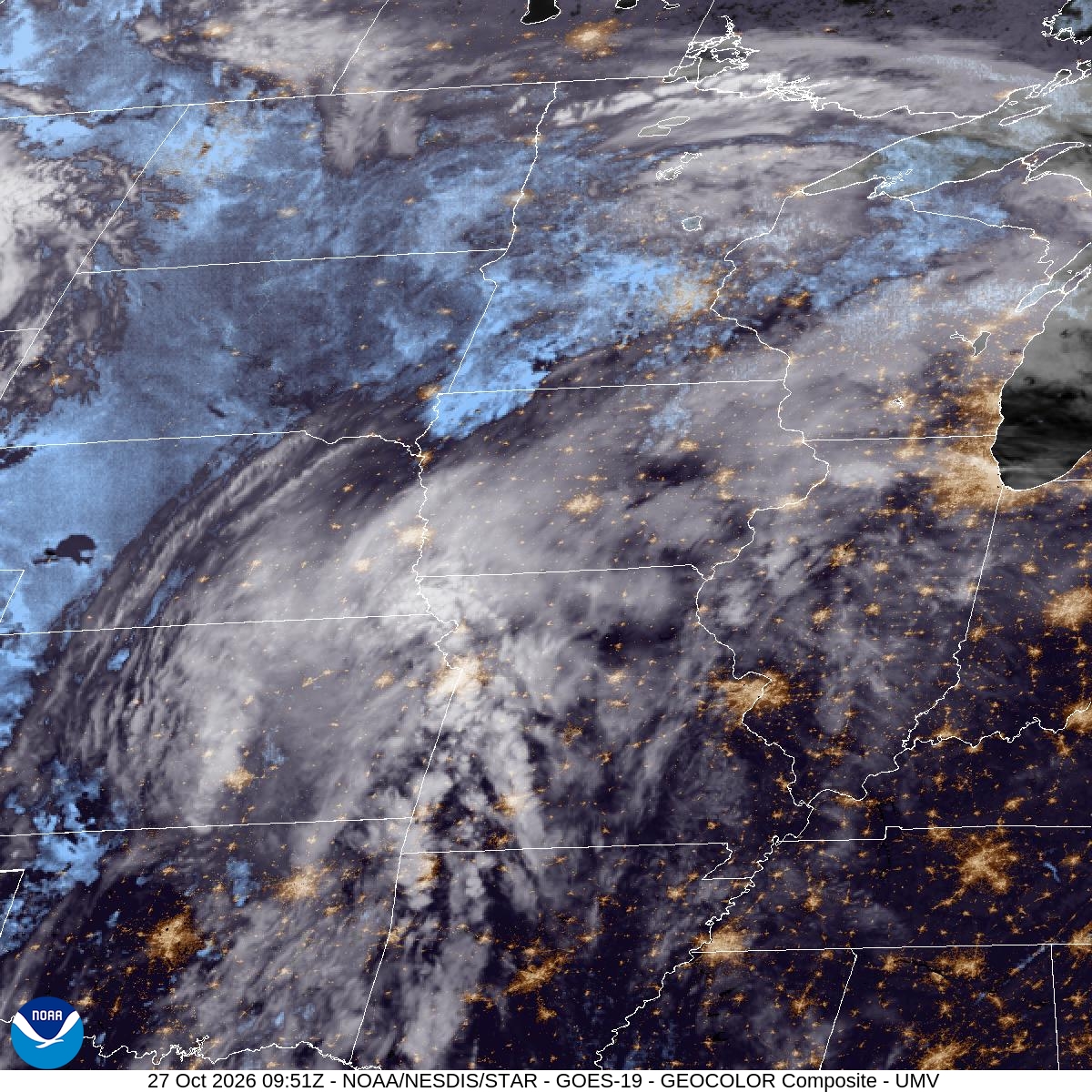
Monday was gray and wet: a high of 49°, a low of 42°, and 0.38" of rain at MSP. Tuesday brings more of the same, at least in the morning.
Showers are likely overnight, with an 80% chance and a low around 40 that climbs to about 43 before dawn. An east-southeast wind around 15 mph will make it feel raw. Rain continues into Tuesday morning and should wrap up before 1pm. Forecasters expect another quarter to half inch of rain, so plan on wet roads for the morning commute and soggy trails and ballfields by lunch.
The afternoon stays cloudy, but it warms to a high near 59 with a south-southeast wind of 5 to 15 mph. That's a 10-degree improvement on Monday. Tuesday night is mostly cloudy and mild, with a low around 48 that rises to about 53 overnight under a light south-southwest wind.
Looking ahead, Wednesday reaches a high near 68, with showers and thunderstorms likely after 4pm, so outdoor plans should happen early. Thursday is sunny with a high near 61.
For the next 12 hours and today's records, see Bloomington weather; for the days ahead, the 10-day forecast.