Tuesday was the warm-up act: MSP topped out at 61° after a low of 44°, with 0.14" of rain. Wednesday brings more of both.
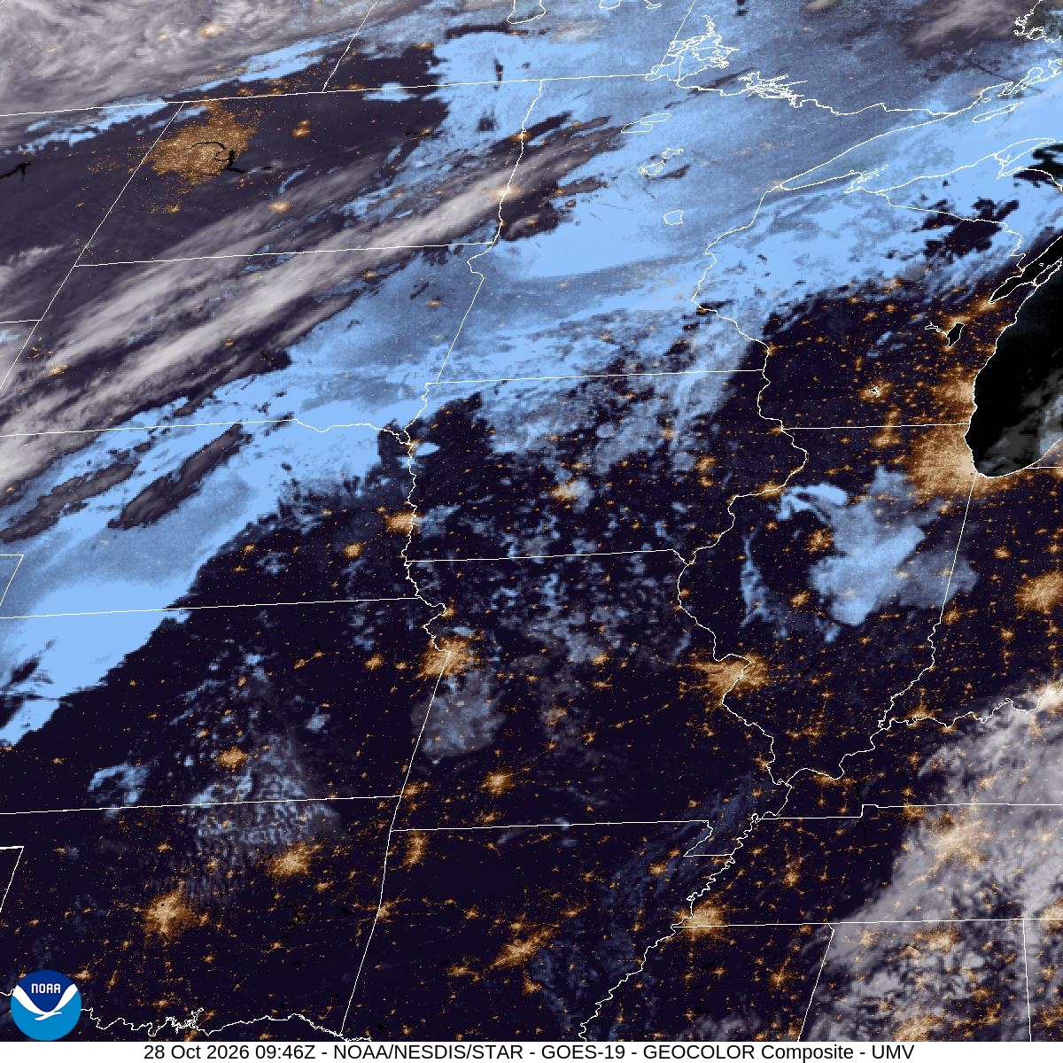
Start with the fog. Areas of it hang around overnight with a low near 49 and barely any wind, and it lingers until about 9am. Leave a few extra minutes for the morning commute, and use your low beams on I-494 and Cedar Avenue.
The late morning should be dry and mostly cloudy. A slight chance of showers shows up between noon and 1pm, then showers and thunderstorms move in for the afternoon. The chance of rain is 90%, and the high is near 69. If you planned a walk at Hyland Lake or a lunch-hour loop around Normandale Lake, go early.
Storms continue into the evening and should taper after 8pm, with a lingering chance until about 10pm. Expect a tenth to a quarter inch of rain this afternoon and about the same tonight. If you're flying out of MSP this afternoon or evening, check your flight status before you leave.
Overnight, the wind turns to the west, temperatures drop to around 44, and patchy fog returns. Thursday is the payoff: sunny, with a high near 58.
For the next 12 hours and today's records, see Bloomington weather; for the days ahead, the 10-day forecast.