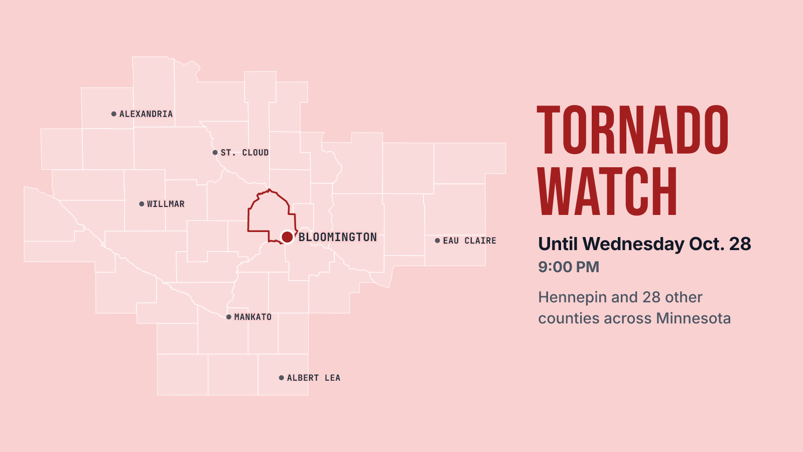

Late October usually means raking leaves. Today it means a tornado watch. NWS Twin Cities/Chanhassen issued Tornado Watch 698 at 3:42 PM Wednesday, October 28. It covers 20 Minnesota counties, including Hennepin, Dakota, Scott, Carver and Ramsey, plus 9 counties in western Wisconsin. It's in effect until 9 PM.
A watch isn't a warning. It means conditions are right for tornadoes to form, so this is the time to know where you'd shelter. If a warning is issued for your area, that's when you go there. Charge your phone, turn on your alerts, and figure out which room in your place is lowest and has no windows before you need it.
The forecast backs that up. Showers and thunderstorms are likely before 5 PM and keep going after that, with a 90% chance of rain this afternoon. Temperatures should top out near 71 and slide to around 68. Storms continue before 7 PM and are still likely between 7 PM and 9 PM. Tonight's chance of rain is 100%. Some of the storms could be severe. The afternoon could bring between a tenth and a quarter of an inch of rain, and tonight could add another quarter to half an inch.
In practice, the evening commute and any after-work plans fall right in the window. Expect wet roads and leave room to pull over if a cell gets nasty. Think twice about an evening walk around the Hyland trails or the river bottoms, and get the kids off the field early if the sky starts to look bad. If you're flying out of MSP tonight, check your flight status before you leave for the airport.
Behind the storms, it gets a lot calmer. The low tonight is around 42, rising to about 45 overnight on a west wind. Thursday looks sunny with a high near 56, and Friday is mostly sunny with a high near 57. That's good leaf-raking weather. First, get through tonight.
For the next 12 hours and today's records, see Bloomington weather; for the days ahead, the 10-day forecast.