
Look back at the last week and it's basically one long heat streak: highs of 93, 94, 96, 94 and 95 from July 13 through 17, then a slightly milder 90 on the 18th. Overnight lows barely dipped below 72 most nights, topping out at 78 on the 17th — the kind of stretch where the air conditioner never really gets a break. Not a drop of rain fell the whole week, and no records went down, but six days in a row in the 90s with bone-dry ground is exactly the setup that leaves lawns crispy and mulch beds thirsty.
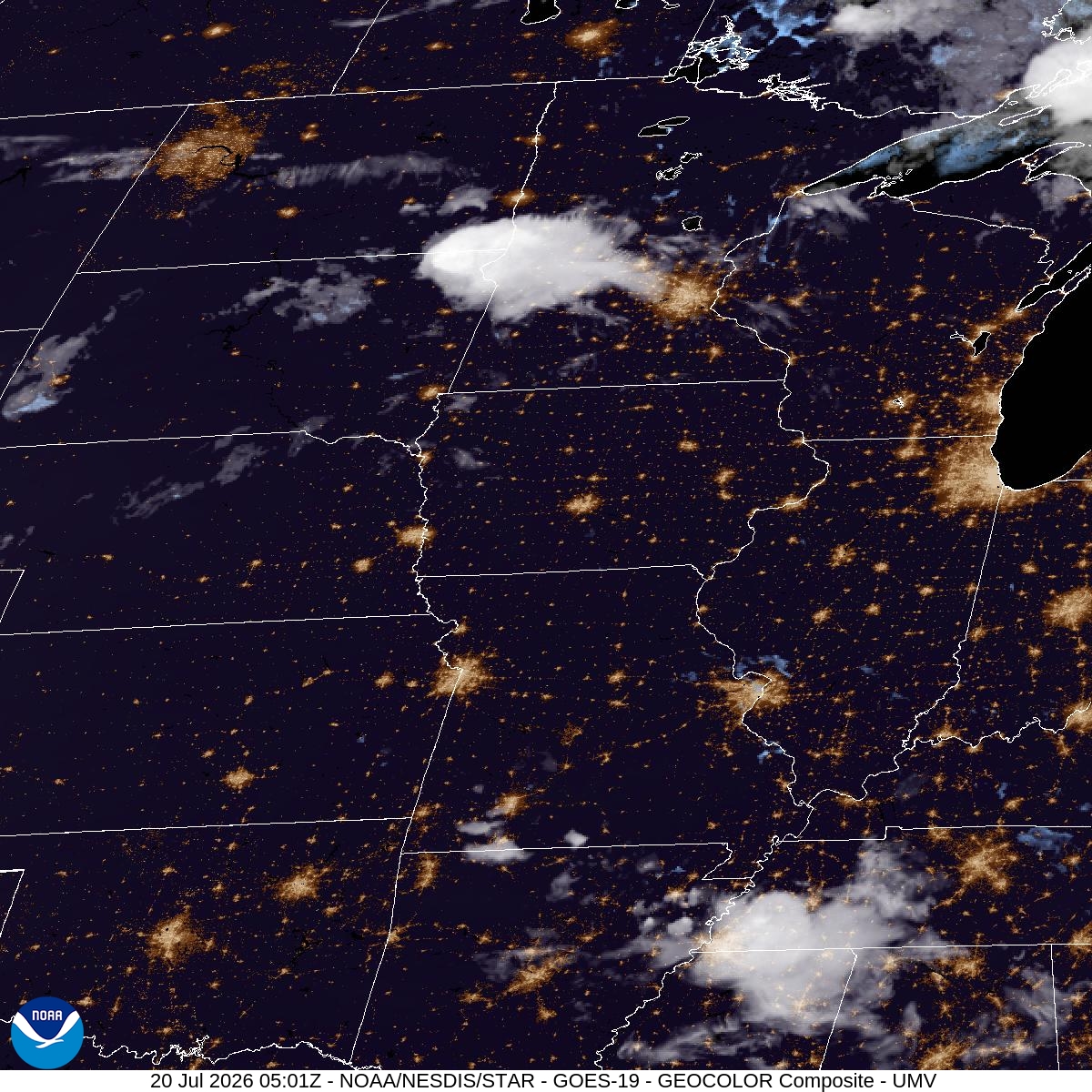
That dry spell ends fast. Overnight brings a 70% chance of showers and thunderstorms, with a quarter to half an inch of rain possible, and Monday keeps the door open for more storms before 9am with another quarter to half inch on top of that. Monday's high near 94 with a heat index up to 97 means it'll still feel plenty sticky before anything cools off — expect ponding on low spots around town and a slower morning commute if storms are still rolling through during rush hour.
The real relief lands Tuesday. A high near 81 with north northwest wind around 15 mph, gusting to 30, scrubs out the humidity, and Tuesday night drops to a comfortable 60. Wednesday holds that pattern with sunny skies and a high near 81 — genuinely pleasant conditions for anyone who's been waiting to get back outside for a walk along the river or an evening at the park without breaking a sweat just standing still. Worth noting patchy smoke is possible early Monday night, so it's not a completely clear shot, but overall this is the best stretch of air Bloomington's seen in over a week.