
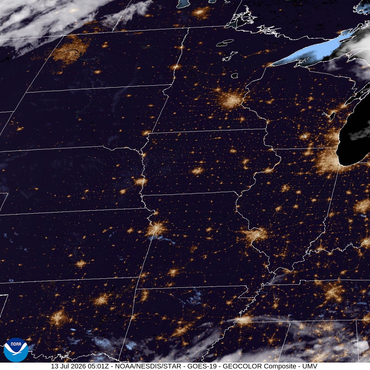
Nothing dramatic happened weather-wise the last seven days — no records, no severe weather to speak of. MSP climbed steadily from a high of 87° on July 6 up to 90° on July 11, with lows staying muggy in the mid-to-upper 60s and 70s. Rain was minor: 0.27" on July 7 and 0.24" on July 8, then nothing the rest of the stretch. Basically a warm, quiet week that was setting the table for what's coming.
Tonight stays mild and clear, low around 75° with a light southwest breeze. That's the calm before the real heat. Monday brings sun and a high near 95°, with heat index values as high as 98°. Tuesday pushes even hotter — 96° with a heat index up to 99° — and Wednesday holds at 96° as well. Overnight lows aren't offering much relief either, sitting around 76° Monday and Tuesday nights.
For anyone with plans at the parks or along the river, shift them earlier or later in the day — mornings before 10 or evenings after 7 will feel far more livable than midday. Runners and cyclists on the regional trails should plan around the heat index peak in early afternoon. If you're flying out of MSP, the forecast doesn't point to storm delays this stretch, but give yourself extra time getting to and from the terminal in the heat, especially with kids or pets in the car. Skip leaving anyone or anything living in a parked vehicle even briefly — that's where 95-plus with high humidity turns dangerous fast.