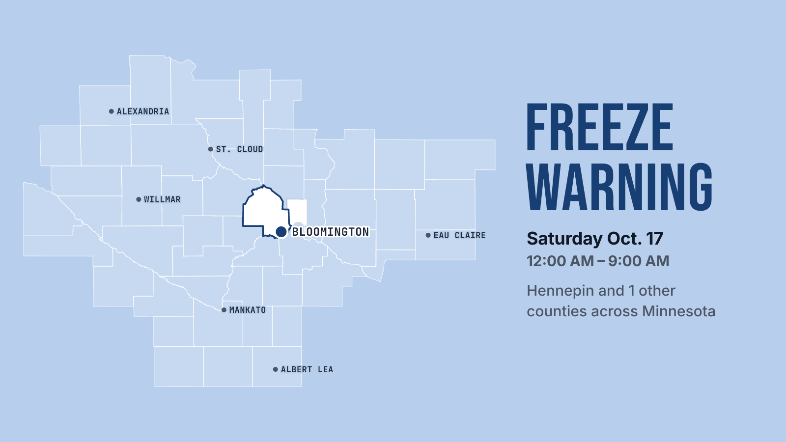
NWS Twin Cities/Chanhassen issued a Freeze Warning at 4:57 PM Friday for Hennepin and Ramsey counties. It runs from midnight tonight to 9 AM Saturday, October 17, with temperatures expected to drop as low as 31. The Bloomington forecast calls for a clear night with a low around 32 and widespread frost after midnight. Winds will be close to calm, west at 0 to 5 mph, and that's the setup that lets frost settle on everything.
The warning says frost and freeze conditions could kill crops and other sensitive vegetation, and could damage unprotected outdoor plumbing. If you have tomatoes, peppers, basil or potted annuals you still care about, bring them in or cover them before bed. If you haven't unhooked the garden hose yet, tonight is a good night to do it. Don't plan on a frost-free windshield either. Frost is in the forecast until 9 AM, so give yourself a few extra minutes Saturday morning.
Friday afternoon is sunny but cooling off. The high is near 53, temperatures drop to around 50 later in the afternoon, and a northwest wind blows around 10 mph. Once the sun goes down, it gets cold fast.
The freeze doesn't last. Saturday turns sunny with a high near 59. It gets breezy too, with a south-southwest wind of 5 to 15 mph and gusts as high as 30 mph. That wind keeps going Saturday night, around 15 mph with gusts to 30, and holds the low near 43, much milder than tonight. Sunday looks even better: sunny, a high near 62, and gusts up to 25 mph. Sunday night stays mild at around 45.
If you have outdoor plans this weekend, wait until after mid-morning Saturday, then enjoy it. Just hang on to your hat at the park, and maybe hold off on raking until the gusts calm down.
For the next 12 hours and today's records, see Bloomington weather; for the days ahead, the 10-day forecast.