
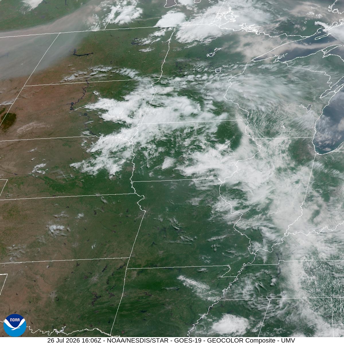
Today's the peak of it: mostly sunny, a high near 98, and heat index readings up to 107 for Bloomington and the rest of Hennepin County. That's the kind of heat-and-humidity combo where heat illness risk jumps fast, especially if you're outside for any stretch this afternoon. Wind's light, out of the south southwest at 5 to 10 mph, so there's no real relief in the air.
The warning holds until 9 PM tonight, then downgrades to a Heat Advisory that carries through 8 PM Monday. Tonight only cools to around 76, with heat index values still hitting 105 after dark and a slight chance of showers and storms between 7 PM and 1 AM — 20% odds, so don't bank on it breaking the heat.
Monday backs off slightly but stays hot: sunny, high near 95, heat index up to 99. Wind shifts west northwest at 5 to 15 mph, which helps a bit. Monday night drops to around 71. By Tuesday, it's sunny and 92 with lighter winds, and Tuesday night eases to 71 — the first stretch that starts to feel like a genuine break.
If you've got plans at the parks or anywhere outdoors today, push them to the morning or evening and skip the midday sun. Same goes for anyone walking to MSP or hanging around the airport grounds — pavement heat on top of a 107 heat index adds up quick. Hydrate, check on anyone without air conditioning, and don't leave pets or kids in cars, even briefly.