
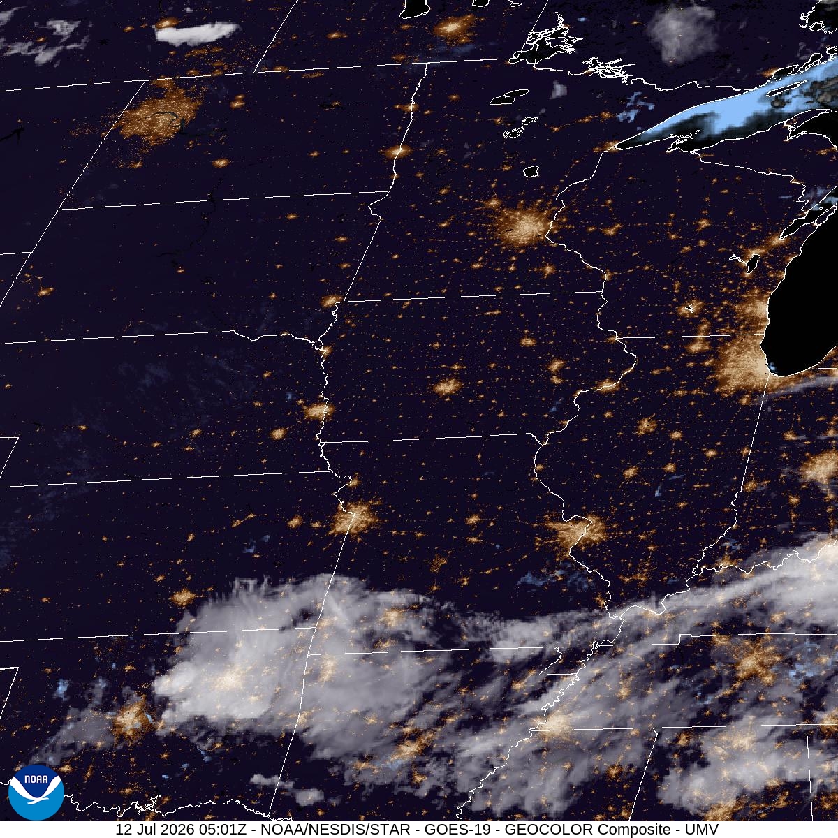
This isn't a one-day spike. Sunday tops out near 94 with a heat index as high as 99, Monday climbs to 96 with the heat index again hitting 99, and Tuesday holds at 96. Three straight days of sun and southwest wind at 5 to 10 mph, with barely any cooling overnight — tonight's low is only 73, Sunday night dips to 73 with a heat index still near 98, and Monday night manages just 74.
That overnight pattern is the real story. When lows stay in the low-to-mid 70s, homes without air conditioning don't get much chance to shed the day's heat before the next round starts. If you're heading to the parks or trails, mornings are your window — by afternoon the heat index is doing its work whether you're moving or not.
Nothing here points to storms or wind disruptions for MSP or the roads — this is a dry, sunny, hot stretch, not a severe weather setup. The concern is straightforward heat exposure: outdoor plans, sports, yard work, anything that has you outside for stretches on Monday or Tuesday should get scheduled around the cooler morning hours while the mid-90s afternoons hold through the week.