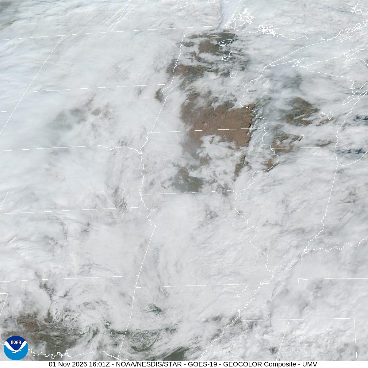
Yesterday's 0.28" of rain at MSP is behind us, and today looks like a good day to be outside. Expect mostly sunny skies and a high near 68, well above Saturday's 59. Temperatures slip to around 65 in the afternoon, so the warmest part of the day comes earlier than usual. A light southeast wind of 5 to 10 mph won't bother anyone at Hyland, Normandale Lake or the River Bottoms.
Tonight clouds fill in and the low only drops to around 56. There's a 30% chance of rain after 3am, so early risers might find wet pavement.
Monday is a sure thing, with a 100% chance of rain. Rain falls through the morning, showers and thunderstorms come between noon and 3pm, and then it goes back to rain. The National Weather Service puts new rainfall at three quarters of an inch to an inch. Southeast winds of 10 to 15 mph could gust to 30 mph. Plan on a slower drive on 494 and 35W, and check your flight if you're going through MSP.
It doesn't clear out quickly. More showers and storms are in the forecast Monday night and Tuesday, with a 90% chance on Tuesday. If anything outside needs doing, do it today.
For the next 12 hours and today's records, see Bloomington weather; for the days ahead, the 10-day forecast.